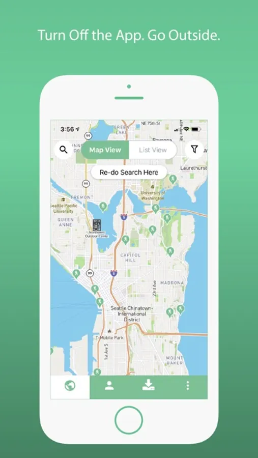
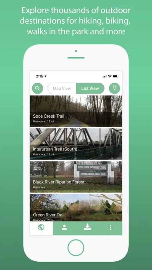
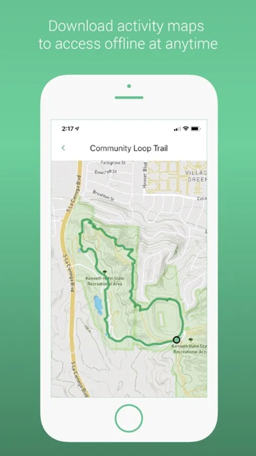
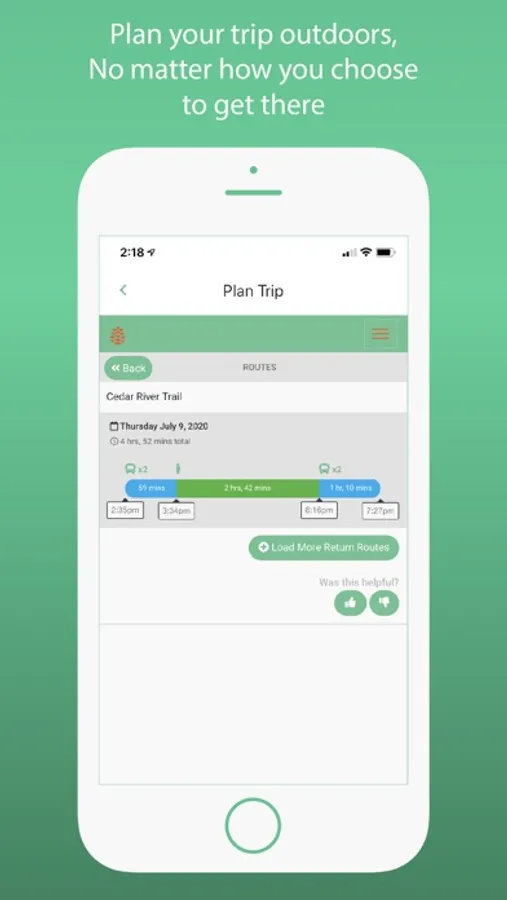
In this navigation app, you can find detailed maps and directions for outdoor activities near you and download maps for offline use. Includes offline maps and trip planning features for public transit, biking, and walking routes.
About TOTAGO: Maps, Parks & Trails
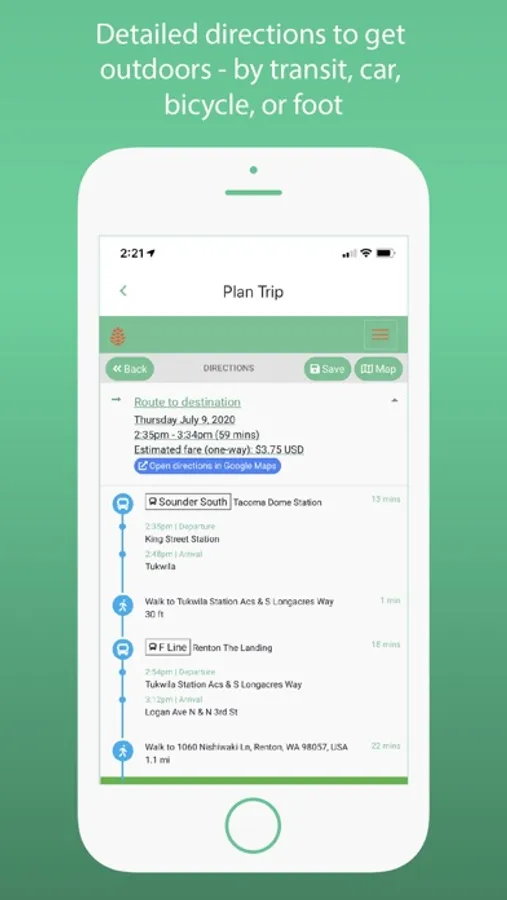
Find detailed and accurate information for urban nature, hiking, bicycling, and other outdoor activities near you. Get round-trip directions by transit, car, bicycle, or foot and download any map or content offline.
REGIONS
Seattle/Washington, Portland/Oregon, Los Angeles/California, Vancouver/British Columbia, Detroit/Michigan, and Chicago.
OUTDOORS MADE EASY
Let us take care of the planning and logistics so you don't have to worry about the how's and when's. You just have to consider one question...which adventure?
ADVENTURE WITHOUT A CAR
Don’t let the absence of an automobile hinder your drive to get outdoors! Use TOTAGO to arrange hiking trips with public transit or shuttle alternatives that not only enable the carless but also eliminate pesky parking problems.
OFFLINE MAPS
Always know where you're going and that you'll make it back home safely. With TOTAGO's offline trail maps, you never have to rely on spotty cell service to get you where you need to go.
PROTECT THE OUTDOORS
Using car-free transportation or recreating closer to home reduces pollution and other environmental impacts, helping to conserve the great outdoors. Up to 10% of our app revenue is given to local land stewards to protect and maintain parks and trails.