In this hurricane tracking app, users can view and analyze storm paths and weather data with real-time updates. Includes satellite imagery, storm tracking, and weather observation layers.
About OBX Hurricane Tracker
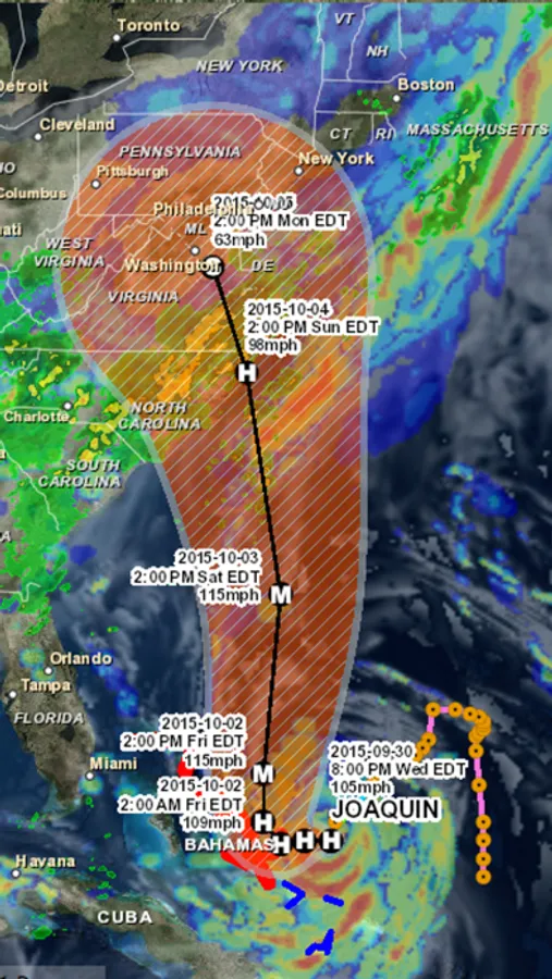
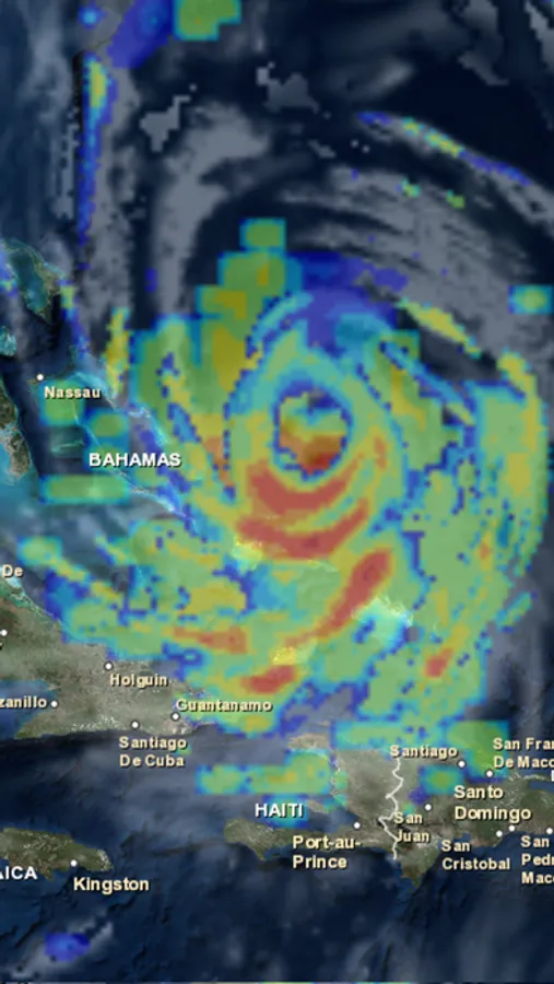
OBX Hurricane Tracker is an interactive mapping application for tracking hurricanes, tropical storms and tropical depressions in the Atlantic ocean with a focus on the outer banks of North Carolina. All data comes from the NHC, NOAA and NWS. Listed below are the featured layers of this application.
-Global Cloud Cover
-Hurricane Tracks
-NHC Chance of Development
-Tropical Storm Tracks
-Tropical Depression Tracks
-Wave Height Data
-3 Hour Precipitation Data
-NOAA Buoy and Ship Observation Data
-GPS Location
-Wave Direction
-Global Surface Winds
-Global Cloud Cover
-Hurricane Tracks
-NHC Chance of Development
-Tropical Storm Tracks
-Tropical Depression Tracks
-Wave Height Data
-3 Hour Precipitation Data
-NOAA Buoy and Ship Observation Data
-GPS Location
-Wave Direction
-Global Surface Winds