About Terrain Tools Field
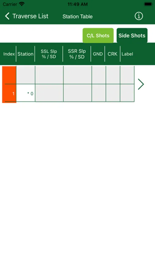
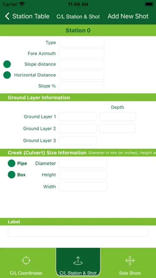
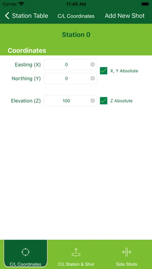
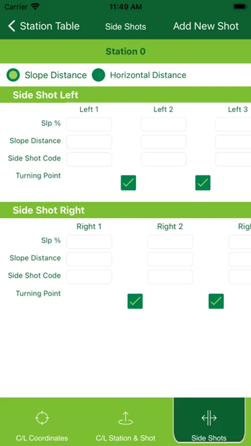
Terrain Tools® Field allows you to record and verify survey traverses in the field. Once you get back to the office, import or email your traverse file, and open in your Survey Map module to begin engineering.
Key Features:
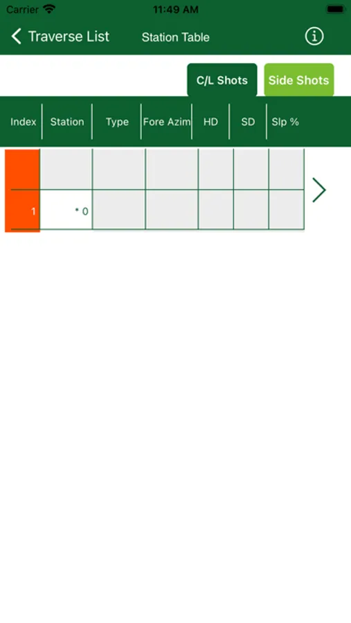
Easy entry of bearing, distances slopes.
Record up to 10 side shot entries per side.
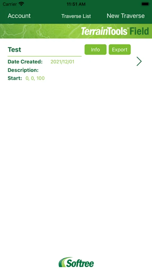
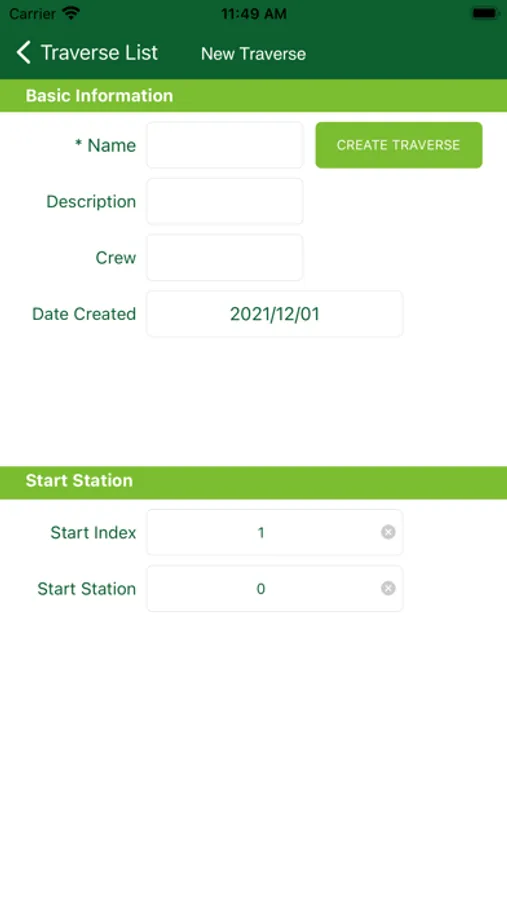
Record and edit multiple traverses, including P-Line and radial traverses
Manual entry of GPS coordinates
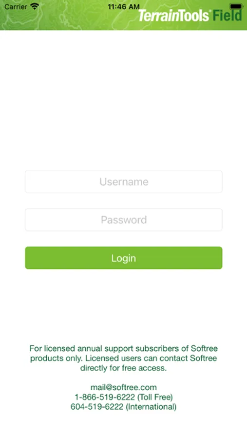
Terrain Tools® Field is free and available exclusively as an added benefit for Softree annual support customers.
Compatible with RoadEng®, Terrain Tools® 3D, and Terrain Tools® Forestry Version 7.0 and higher.
Key Features:
Easy entry of bearing, distances slopes.
Record up to 10 side shot entries per side.
Record and edit multiple traverses, including P-Line and radial traverses
Manual entry of GPS coordinates
Terrain Tools® Field is free and available exclusively as an added benefit for Softree annual support customers.
Compatible with RoadEng®, Terrain Tools® 3D, and Terrain Tools® Forestry Version 7.0 and higher.