With this map app, you can view and navigate forest service maps across the United States and save locations with synchronized markers. Includes offline map downloads, GPS location tracking, and track recording features.
AppRecs review analysis
AppRecs rating 4.5. Trustworthiness 76 out of 100. Review manipulation risk 25 out of 100. Based on a review sample analyzed.
★★★★☆
4.5
AppRecs Rating
Ratings breakdown
5 star
84%
4 star
10%
3 star
2%
2 star
1%
1 star
3%
What to know
✓
Low review manipulation risk
25% review manipulation risk
✓
Credible reviews
76% trustworthiness score from analyzed reviews
⚠
Ad complaints
Many low ratings mention excessive ads
About Forest Maps 2
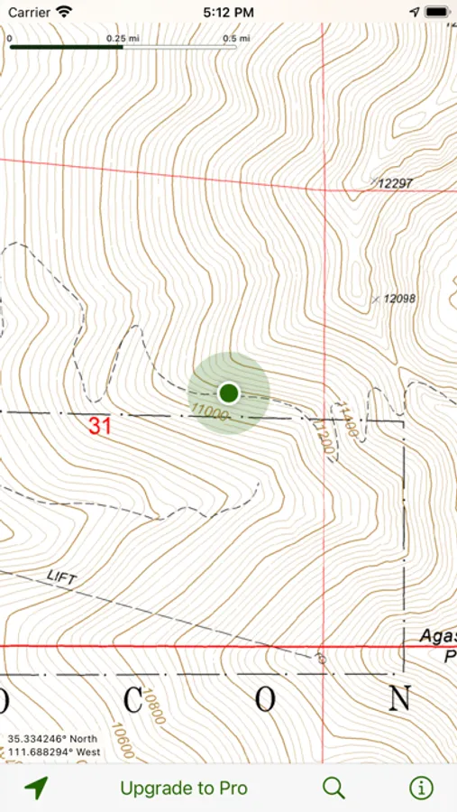
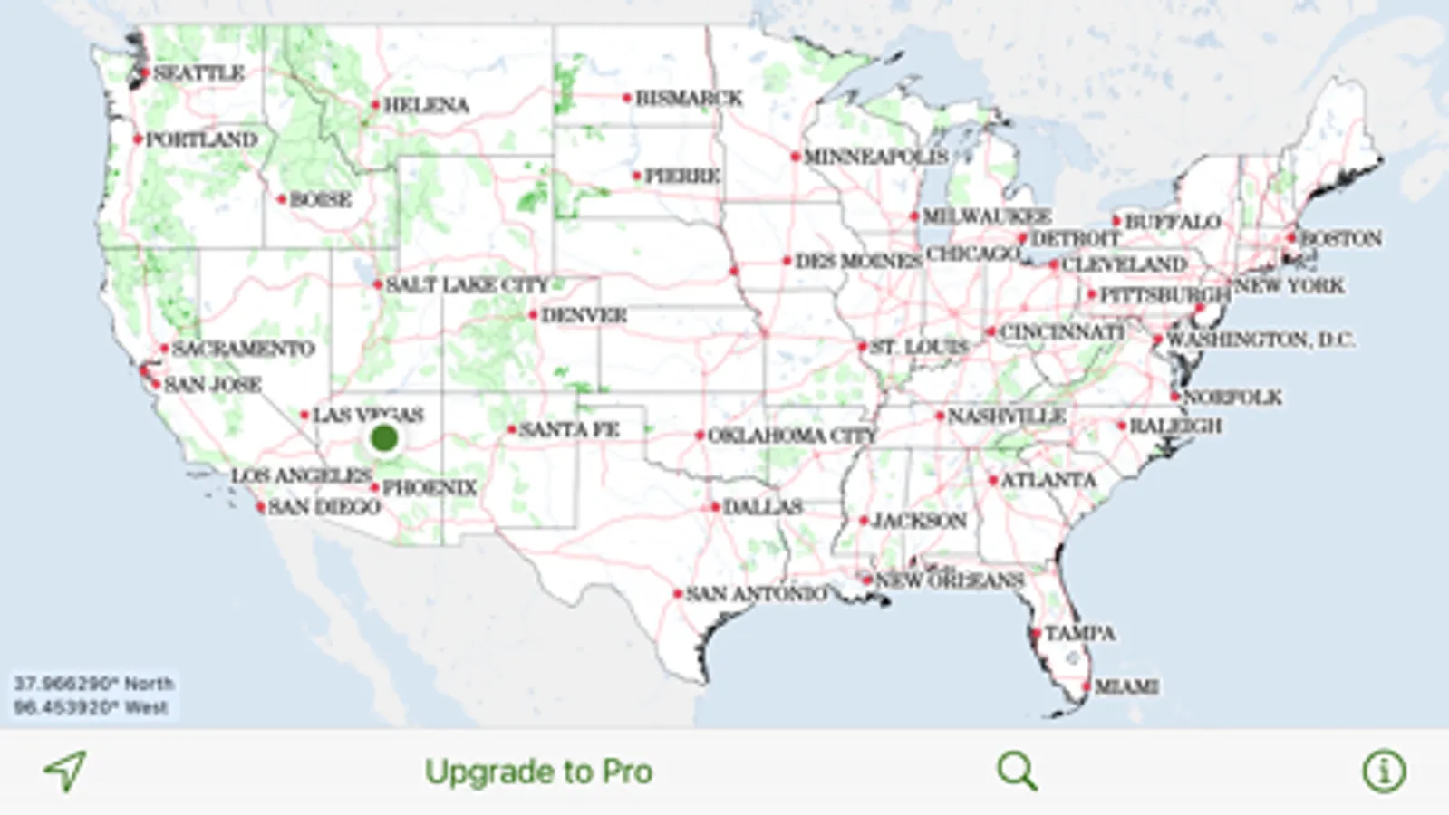
Forest service maps on your iPhone or iPad! This app includes all areas mapped by the United States Forest Service. The map is a single, continuous map, so there's no need to search through menus to find the map you need.
Save favorite spots with map markers that use iCloud to synchronize across your devices.
Upgrade to Pro and get:
• Map downloads. Going off the grid? Download entire forests for use when the Internet is unavailable. GPS-enabled devices such as the iPhone and the Wi-Fi + Cellular iPad show your current location on the map, even when you have no network connection.
• Track recording. Record your track to see where you've been. Each track shows its distance, duration, average speed, and elevation profile. Share your tracks with other Forest Maps users, open them in Google Earth, or export to a GPX file.
This app was not created by and is not affiliated with the United States National Forest Service.