AppRecs review analysis
AppRecs rating 2.2. Trustworthiness 80 out of 100. Review manipulation risk 25 out of 100. Based on a review sample analyzed.
★★☆☆☆
2.2
AppRecs Rating
Ratings breakdown
5 star
17%
4 star
8%
3 star
8%
2 star
8%
1 star
58%
What to know
✓
Low review manipulation risk
25% review manipulation risk
✓
Credible reviews
80% trustworthiness score from analyzed reviews
⚠
Mixed user feedback
Average 2.2★ rating suggests room for improvement
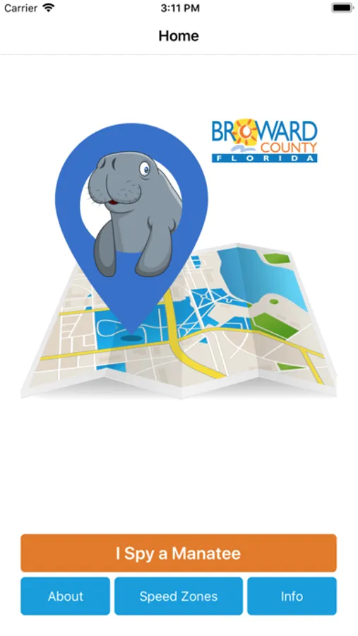
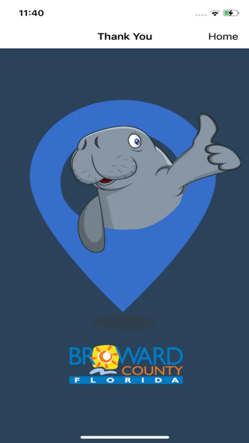
About I Spy a Manatee
The ‘I Spy a Manatee’ mobile app was developed to encourage residents and visitors in Broward County to report manatee sightings in the County’s waterways. The app allows users to:
• Take a picture of the manatee or select the picture from the device’s gallery.
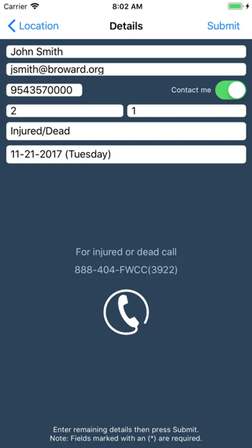
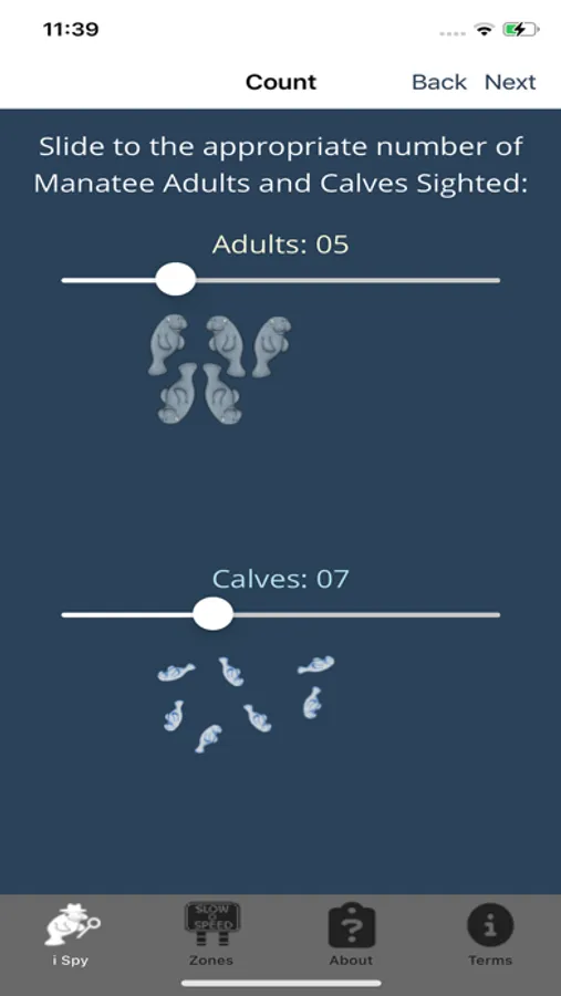
• Report information including number of manatees, type of activity (e.g. feeding, traveling, resting, etc.) and to also report if the manatee is injured or dead.
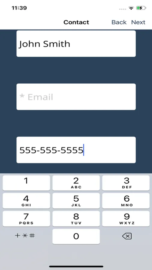
• During submission of a manatee sighting, users can request to be contacted regarding the sighting, however this is not required.
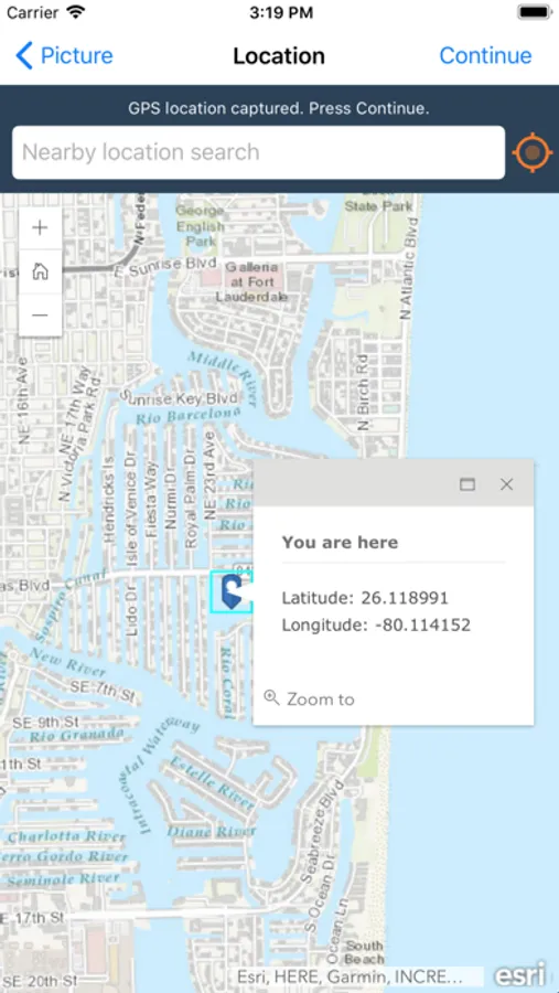
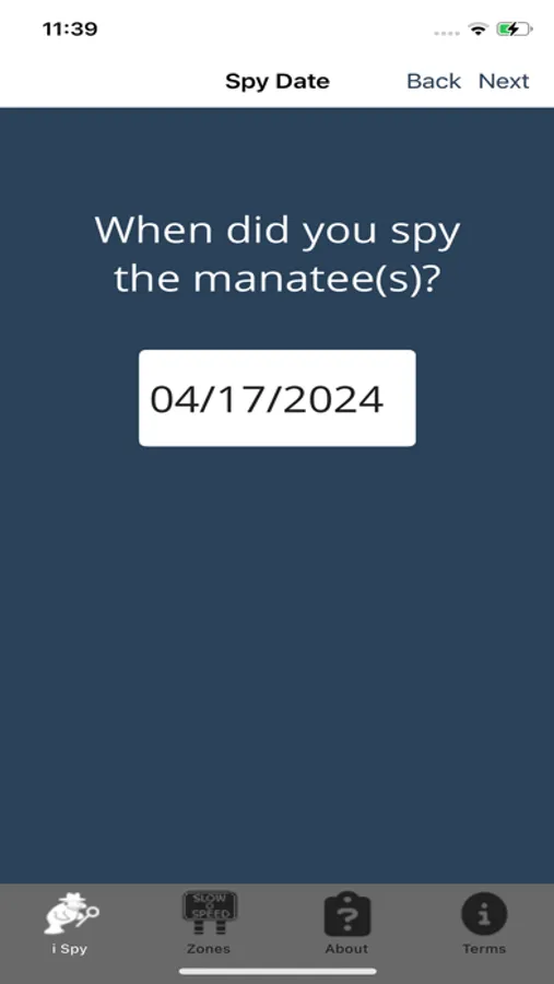
• If location services or mobile service is not available at the time of the sighting, the user has up to 48 hours to submit the sighting.
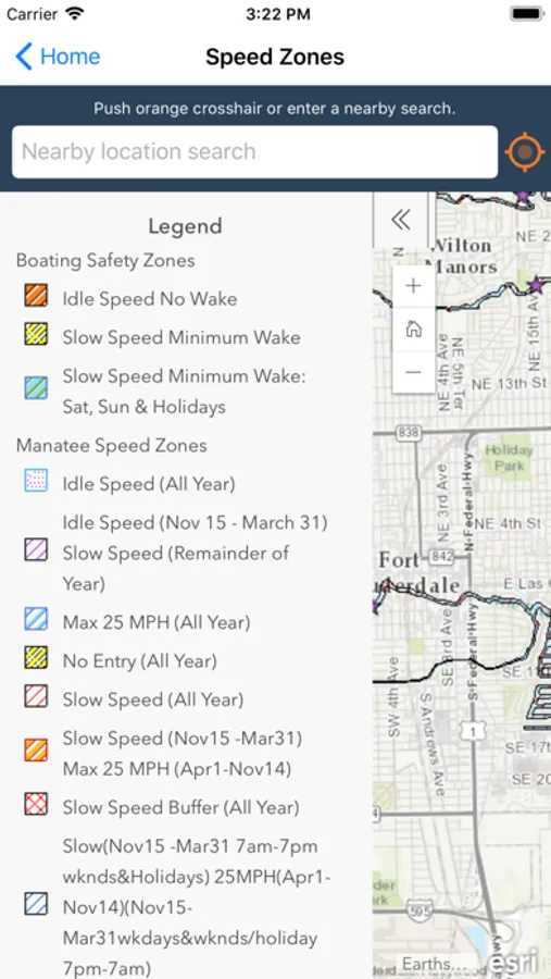
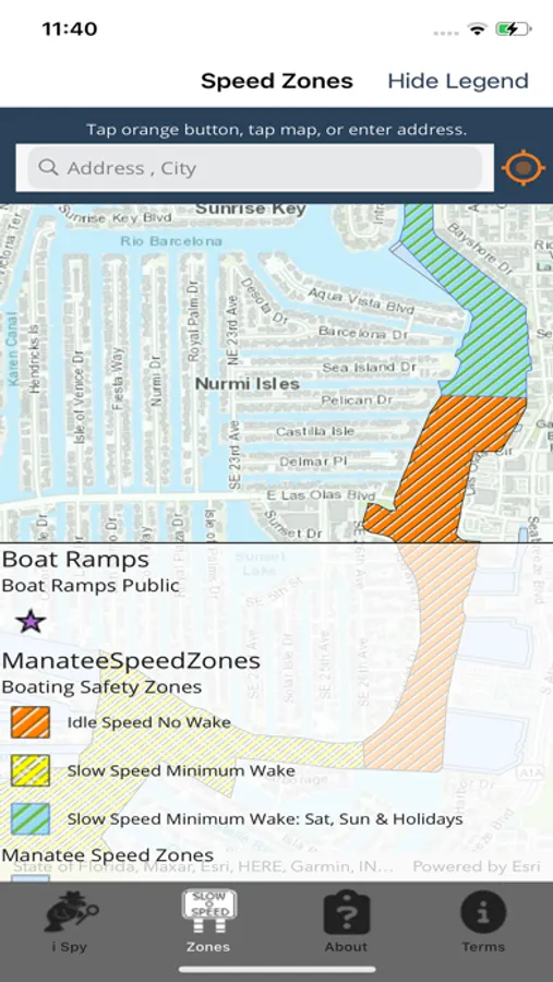
• View a map of the County’s waterways with State-regulated manatee protection and boating safety zones. The map can also display the mobile device’s location on the waterway. Even without location services active, the map can still display a nearby location if the user provides a valid address.
Created by Broward County’s Enterprise Technology Services Division and the Environmental Planning and Community Resilience Division.
• Take a picture of the manatee or select the picture from the device’s gallery.
• Report information including number of manatees, type of activity (e.g. feeding, traveling, resting, etc.) and to also report if the manatee is injured or dead.
• During submission of a manatee sighting, users can request to be contacted regarding the sighting, however this is not required.
• If location services or mobile service is not available at the time of the sighting, the user has up to 48 hours to submit the sighting.
• View a map of the County’s waterways with State-regulated manatee protection and boating safety zones. The map can also display the mobile device’s location on the waterway. Even without location services active, the map can still display a nearby location if the user provides a valid address.
Created by Broward County’s Enterprise Technology Services Division and the Environmental Planning and Community Resilience Division.