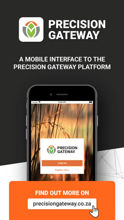
About Precision Gateway
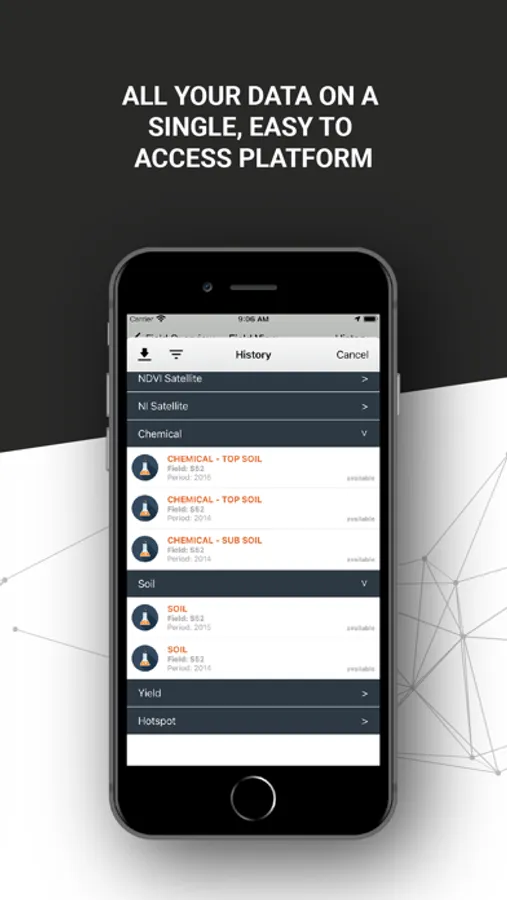
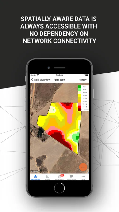
Precision Gateway Mapping is the mobile version for managing spatial data within the SGS Precision Gateway platform. The mapping app gives you access to all the geospatial data gathered on the farm, this includes maps such as:
• Nutrient Index
• Soil Physical
• Soil Chemical
• Satellite Imagery
• VRT
• Yield
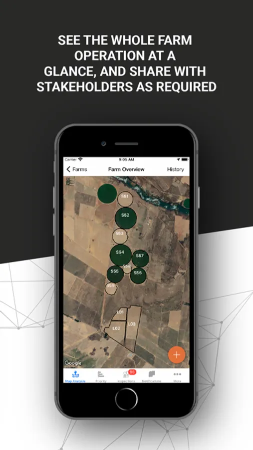
Interaction with the data is made possible by using your devices’ GPS coordinates, enabling a new dimension of working with the data.
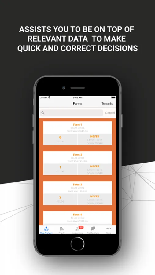
Registration on the app is required in order for us to provide a username and password. Once the registration is received, our operators will be in contact to further assist.
• Nutrient Index
• Soil Physical
• Soil Chemical
• Satellite Imagery
• VRT
• Yield
Interaction with the data is made possible by using your devices’ GPS coordinates, enabling a new dimension of working with the data.
Registration on the app is required in order for us to provide a username and password. Once the registration is received, our operators will be in contact to further assist.