AppRecs review analysis
AppRecs rating 4.0. Trustworthiness 90 out of 100. Review manipulation risk 16 out of 100. Based on a review sample analyzed.
★★★★☆
4.0
AppRecs Rating
Ratings breakdown
5 star
63%
4 star
0%
3 star
25%
2 star
0%
1 star
13%
What to know
✓
Low review manipulation risk
16% review manipulation risk
✓
Credible reviews
90% trustworthiness score from analyzed reviews
✓
Good user ratings
63% positive sampled reviews
About Sea Level Check
Use Sea Level Check to explore and capture how high sea levels are expected to be in the next few decades at any beach or coastal area in the United States. Send short videos to your friends and family to show them how your own community or favorite vacation spot will be impacted as our warming atmosphere causes sea levels to rise.
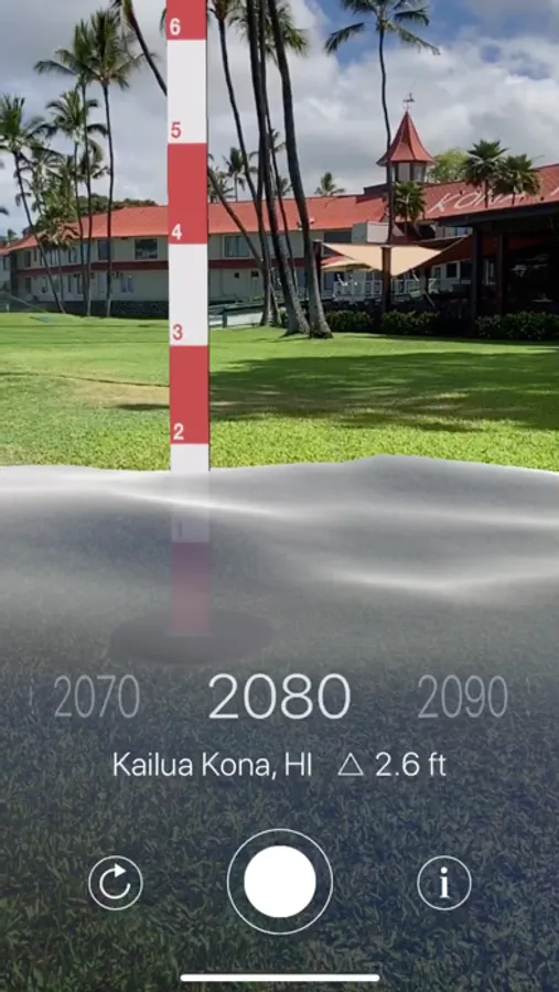
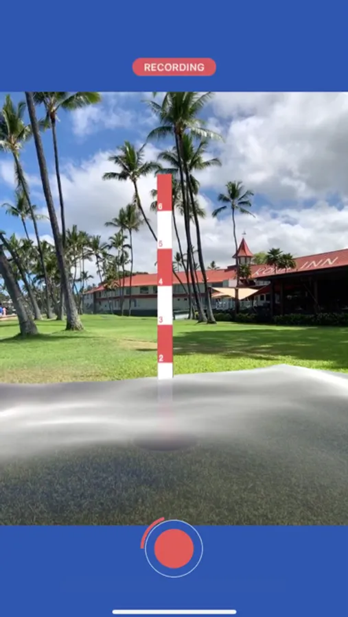
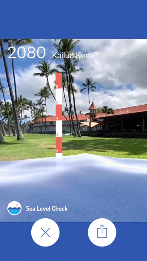
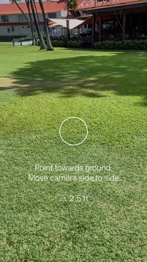
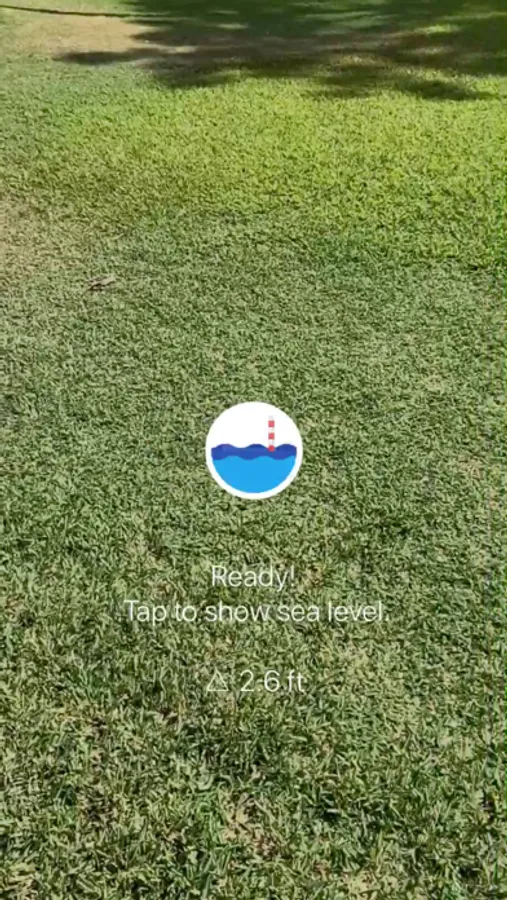
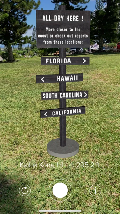
Whenever you're near an ocean or bay, point your mobile device towards the ground. An augmented reality (AR) simulation with animated water and a measuring pole will be displayed, indicating future sea levels at your location (in feet). You can capture and share what you see in a video loop through social media. If your area won't be affected any time before 2100, an "All dry here..." signpost will appear, giving you options to view sea levels at other destinations.
The sea level rise projections in this app are based on the U.S. Global Change Research Program's National Climate Assessment. Tide and elevation data are retrieved from NOAA and USGS in real-time in order to calculate projected sea level rise at your current location. These projections are commonly used for science and coastal area infrastructure planning. The results are approximate, and don't take into account small, topographical features (e.g. standing on a rock). Sea Level Check only works in the US at this time.
Sea level rise is real and is already affecting coastal regions. Explore it. Share it. Prepare for it.