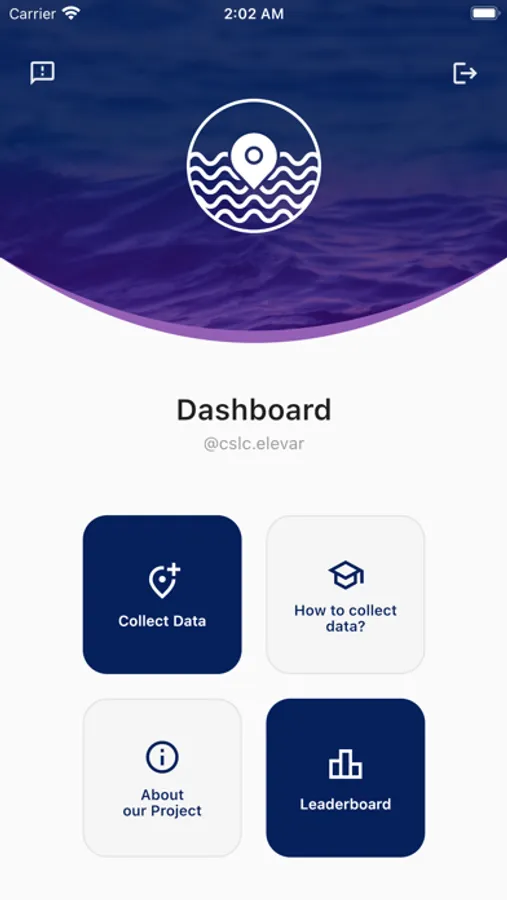
About ELEVAR
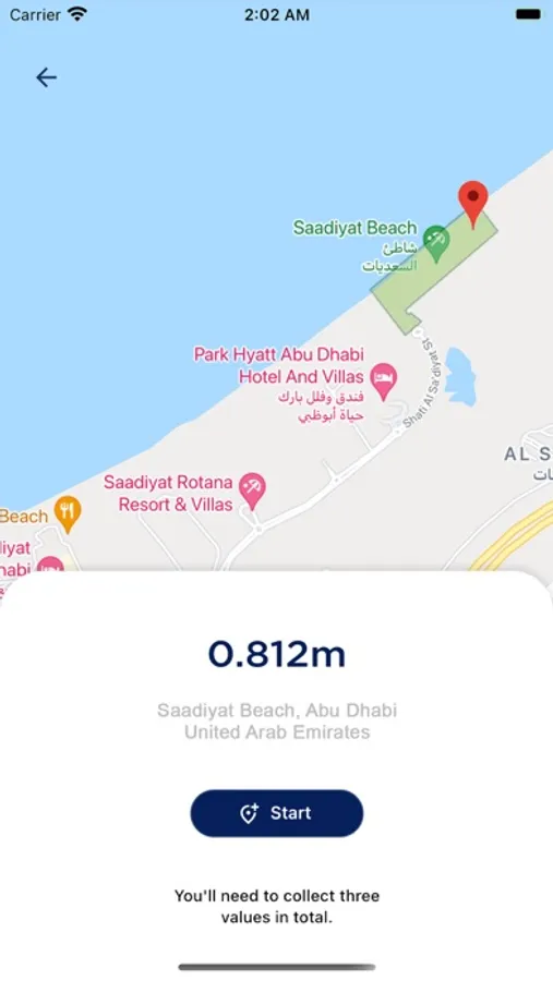
Sea-level rise will affect coastal communities all over the world in the coming decades. To provide meaningful projections of future coastal change along the UAE shoreline, we need a high-resolution, detailed understanding of the land surface elevation. This project harnesses the recent, rapid advancements in the accuracy of location-aware smartphones so that everyone in the UAE can contribute geographic data to improve the elevation datasets underpinning our sea-level projections.