AppRecs review analysis
AppRecs rating 4.1. Trustworthiness 80 out of 100. Review manipulation risk 21 out of 100. Based on a review sample analyzed.
★★★★☆
4.1
AppRecs Rating
Ratings breakdown
5 star
78%
4 star
11%
3 star
0%
2 star
11%
1 star
0%
What to know
✓
Low review manipulation risk
21% review manipulation risk
✓
Credible reviews
80% trustworthiness score from analyzed reviews
⚠
Ad complaints
Many low ratings mention excessive ads
About FloodWatch
Whether you live near a river, enjoy kayaking or fishing, or simply want to stay informed about potential flooding, FloodWatch keeps you connected to the latest conditions across the United States.
Powered by data from the US Geological Survey (USGS) and National Weather Service (NWS), FloodWatch helps you monitor rivers and streams with precision and confidence.
Key Features
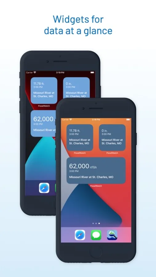
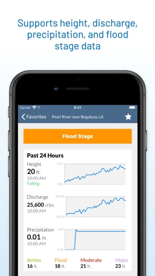
• Real-Time River Data – Track current river height, discharge, precipitation, and water temperature from thousands of USGS gauges nationwide.
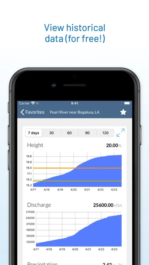
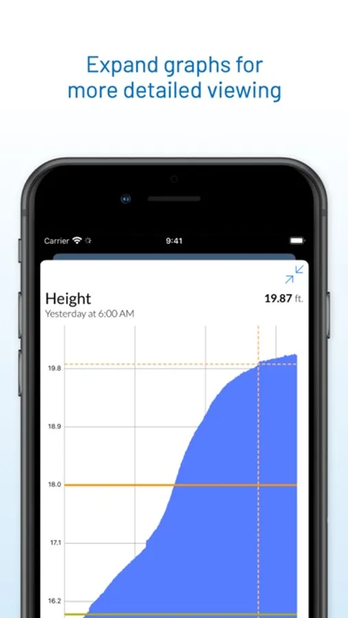
• Historical Trends & Graphs – Visualize how river levels, streamflow, rainfall, and temperature change over time.
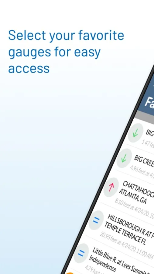
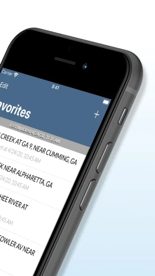
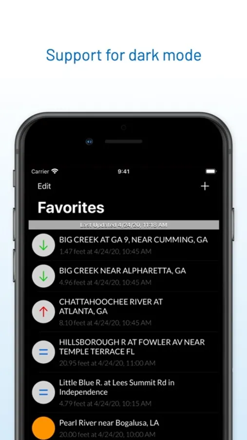
• Favorites List – Save your most important gauges for instant access to the latest readings.
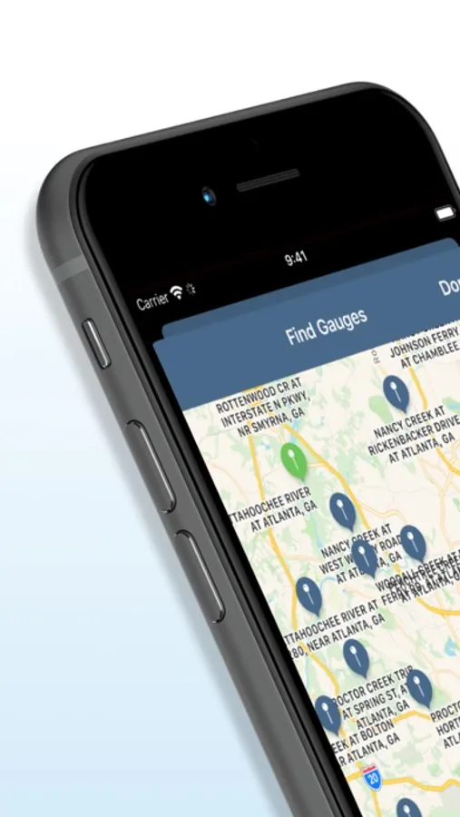
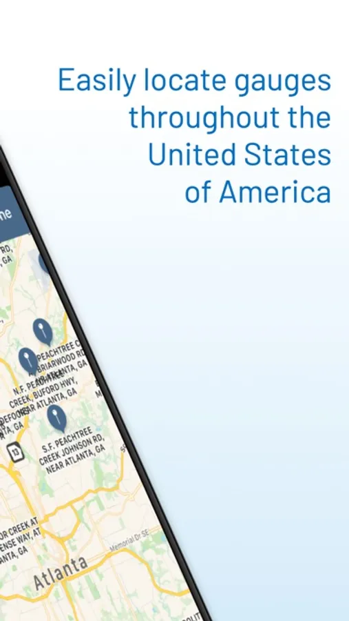
• Nationwide Coverage – Explore data for rivers and streams throughout the U.S., including flood-stage information from NWS.
• Flood Awareness – Keep watch on flood-prone areas and monitor rising waters before they become a threat.
• Great for Recreation – Check water conditions before heading out to fish, paddle, or swim.
Only USGS gauges with real-time data capabilities are included, so you’ll always get the most accurate and up-to-date information available.
Whether you’re safeguarding your property, planning your next river trip, or simply fascinated by hydrology, FloodWatch gives you the insight to stay prepared when water levels change.
Powered by data from the US Geological Survey (USGS) and National Weather Service (NWS), FloodWatch helps you monitor rivers and streams with precision and confidence.
Key Features
• Real-Time River Data – Track current river height, discharge, precipitation, and water temperature from thousands of USGS gauges nationwide.
• Historical Trends & Graphs – Visualize how river levels, streamflow, rainfall, and temperature change over time.
• Favorites List – Save your most important gauges for instant access to the latest readings.
• Nationwide Coverage – Explore data for rivers and streams throughout the U.S., including flood-stage information from NWS.
• Flood Awareness – Keep watch on flood-prone areas and monitor rising waters before they become a threat.
• Great for Recreation – Check water conditions before heading out to fish, paddle, or swim.
Only USGS gauges with real-time data capabilities are included, so you’ll always get the most accurate and up-to-date information available.
Whether you’re safeguarding your property, planning your next river trip, or simply fascinated by hydrology, FloodWatch gives you the insight to stay prepared when water levels change.