With this land measurement app, you can measure distances and land areas on satellite maps and add markers to specific locations. Includes support for imperial and metric units, and tools for measuring fields, pathways, and perimeters.
AppRecs review analysis
AppRecs rating 4.7. Trustworthiness 74 out of 100. Review manipulation risk 30 out of 100. Based on a review sample analyzed.
★★★★☆
4.7
AppRecs Rating
Ratings breakdown
5 star
85%
4 star
10%
3 star
2%
2 star
1%
1 star
2%
What to know
✓
Low review manipulation risk
30% review manipulation risk
✓
Credible reviews
74% trustworthiness score from analyzed reviews
✓
High user satisfaction
85% of sampled ratings are 5 stars
About Planimeter — Measure Land Area
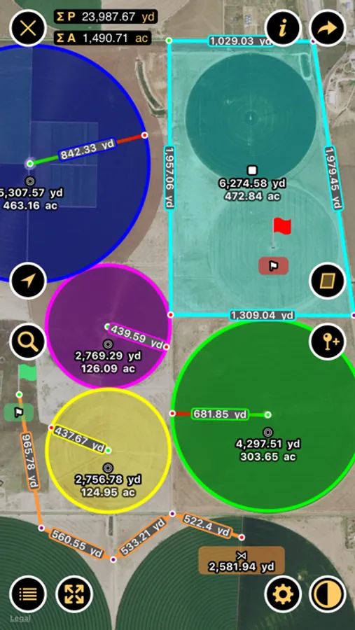
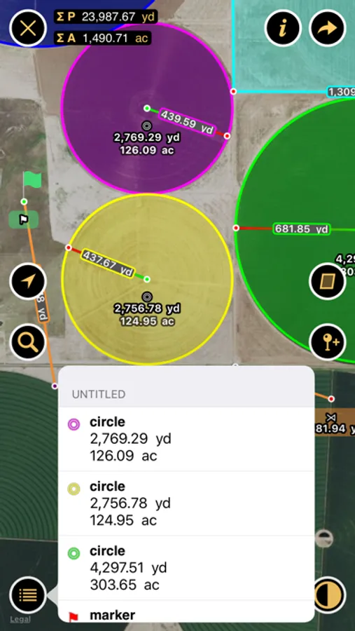
Planimeter measures distances and land areas on maps.
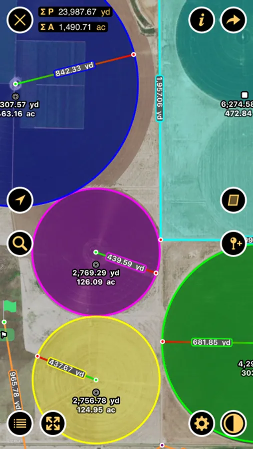
Measure your outdoor projects - lawns, fences, paving, or anything else visible on the satellite map. Quickly measure lot sizes and buildings. Contractors can easily measure landscaping, paving, asphalt, flat roofs and more.
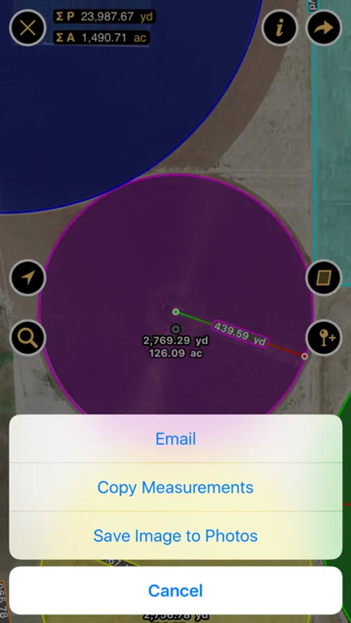
Measure fields, circular regions, paths and perimeters. Add markers to pinpoint locations.
“Planimeter is the essential distance mapping app.” — AppAdvice.com, Distance Mapping AppGuide
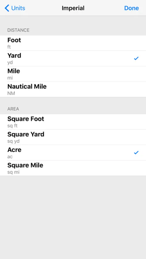
Planimeter supports imperial and metric units.
Measure your outdoor projects - lawns, fences, paving, or anything else visible on the satellite map. Quickly measure lot sizes and buildings. Contractors can easily measure landscaping, paving, asphalt, flat roofs and more.
Measure fields, circular regions, paths and perimeters. Add markers to pinpoint locations.
“Planimeter is the essential distance mapping app.” — AppAdvice.com, Distance Mapping AppGuide
Planimeter supports imperial and metric units.