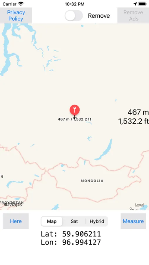
With this altimeter app, you can view current altitude, latitude, and longitude, and switch between maps and satellite images. Includes elevation data, location details, and measurement options.
About Map Altimeter
A simple altimeter free app that displays the height and altitude (meters / feet) of the current location or the point specified on the map. Display latitude and longitude. Maps and satellite images can be switched. Elevation confirmation for flood disaster prevention measures and mountain climbing distress measures. There is an error in the current location measurement due to GPS measurement.