About GUS Geo
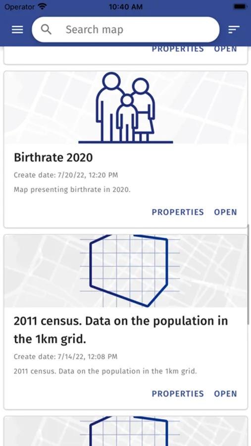
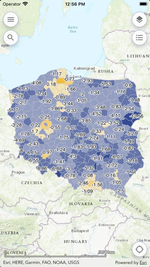
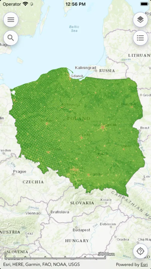
The Geostatistics Portal mobile app was created in the framework of the “Spatial Statistical Data in the Information System of the State (PDS)” project”. The app gives access to ready-made map presentations from the Geostatistics Portal catalogue and offers users two cartographic presentation methods for thematic data from the Local Data Bank: choropleth maps and diagram maps. Users can add external map layers as well as turn on/off the visibility of those layers and their legends. The app also displays popular statistics for a chosen location.