GTRMax
SIGIS Soluciones Integrales GIS, C.A.
4.7 ★
store rating
Free
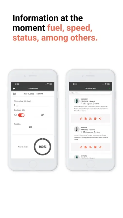
With this satellite location system, you can monitor and manage vehicle fleets in real time, access alerts, and generate reports. Includes vehicle tracking, notifications, and maintenance management tools.
About GTRMax
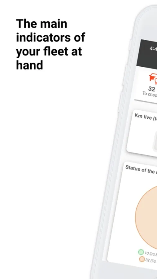
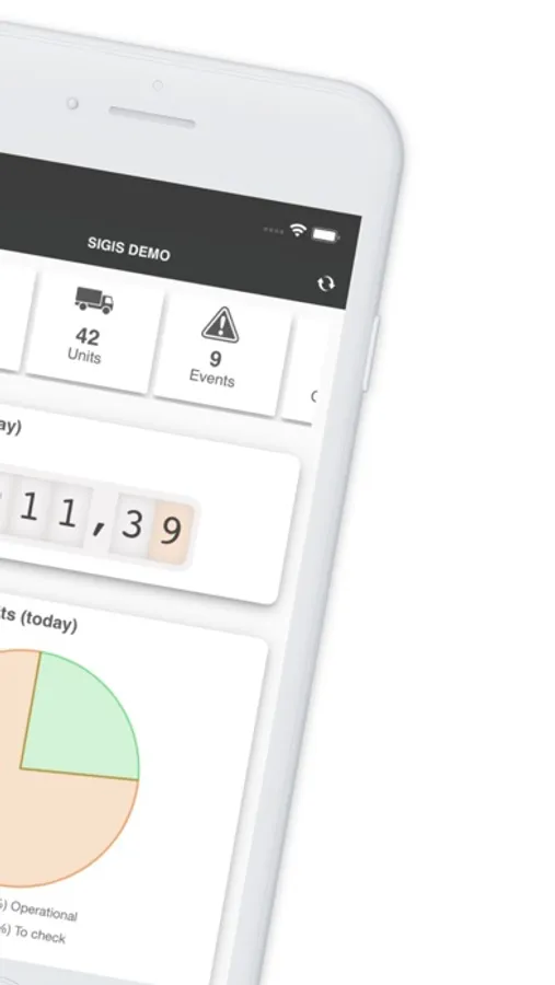
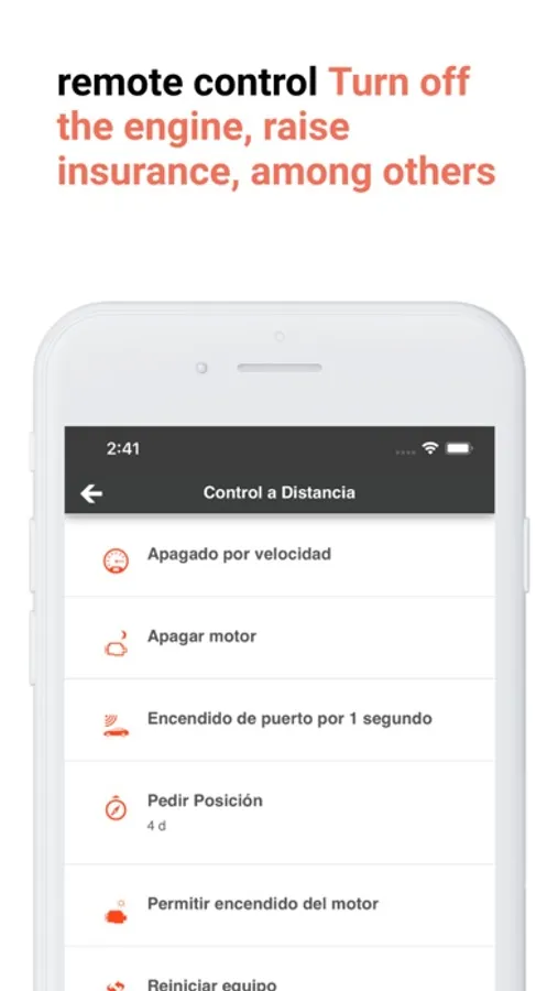
It is an advanced real time satellite location system. It provides monitoring, control, protection and management for fleets. It's backed up by a solid and secure technological platform that allows continuous vehicles monitoring.
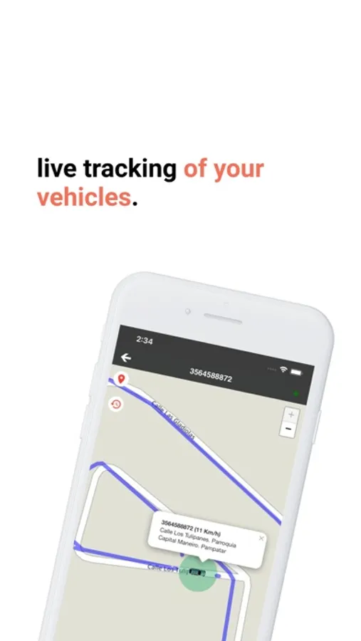
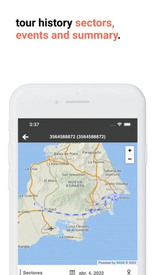
It has been designed based on the user needs, so it can be used in any type of assets; cars, heavy cargo, ships or aircraft, it also has connection options that meet the needs of each organization and provides several tools that go far beyond the location of a vehicle, such as alerts notification, reporting, maintenance management units, among others.
To use the mobile application it's necessary to register and be a GTRMax client.
Continued use of GPS running in the background can dramatically decrease battery life.