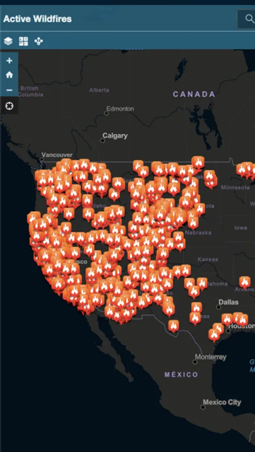
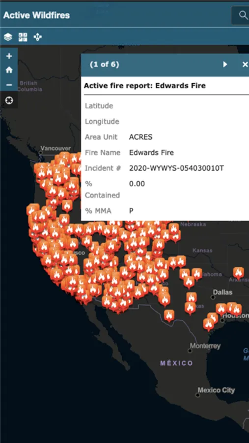
With this mapping app, you can view live wildfire locations across the US and access GPS navigation features. Includes hourly updates and real-time tracking data.
About Active Wildfire Tracker Map
Active Wildfire Tracker Map is an interactive mapping application that tracks the current active wildfires in the US. The data is updated hourly and offer GPS capabilities.